BLynn

EasyDNNNews

Parks data has been re-arranged for ArcGIS users

Old Parks and Greenways featureclasses removed from database

On Tuesday, June 17th, 2014, several old features classes in the KGIS database were removed since they were no longer being maintained. MPC is now maintaining re-designed, and less-complicated,  feature classes located in their shared MPC project space. Therefore, any ArcGIS users whose map documents (.mxds) or  templates reference the older data will want to "re-point" them to the newer ones.. For more info, click Here....

Wednesday, June 18, 2014/Author: Keith G. Stump/Number of views (113)/Comments (0)/ Article rating: 5.0

FEMA data now updated on KGIS Maps

National Flood Hazard Layer (NFHL)

The National Flood Hazard Layer (NFHL) dataset represents the current effective flood data for Knox County.  This dataset is a compilation of effective Flood Insurance Rate Map (FIRM) databases and Letters of Map Change (LOMCs). KGIS received the data in December 2013, but upon the initial review of the dataset it had large amounts of missing data. After several months of revisions by FEMA, KGIS finally received a finished dataset. Although several database table/layer changes have occurred since the last update in 2007, we have been able to display the data using the same symbology KGIS has used for the last couple of years. Please go to KGIS Maps-->Maps--> Planning and Zoning Maps--> and Click on FEMA Flood Map or click here. READ MORE

Tuesday, May 13, 2014/Author: Chris Halcomb/Number of views (1344)/Comments (0)/ Article rating: 5.0

LiDAR data now "in-house" and being Reviewed

Spring 2014 flight by Pictometry/EagleVision

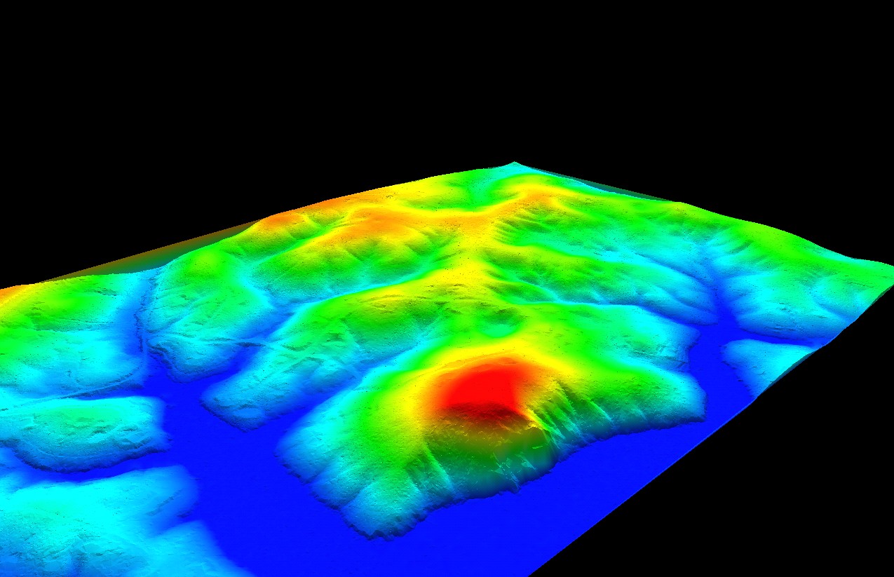
The initial delivery of the Spring 2014 LiDAR data covering all of Knox County (along with portions of Union, Grainger, Jefferson and Sevier) has been received from Pictometry / EagleVision. The LiDAR data is the first, and most important component, to KGIS's topographic base map program, and is increasingly being used by our local government and utilties (Link). KGIS's initial review of the LiDAR data has uncovered some technical issues that will most likely result in the need for re-delivery. If you wish to gain access to the data prior to its acceptance or review, please contact Chris Halcomb here at KGIS.

Thursday, May 8, 2014/Author: Keith G. Stump/Number of views (86)/Comments (0)/ Article rating: No rating
Categories: KGIS DeptsPartners

Presentation about the Landbase Program

provided to Coordinating Committee on March 11, 2014

In conjunction with Keith's proposed FY 2015 Budget, he also presented the Coordinating Committee with an overview of the Landbase / Aerial Photography program and its current status. He highlighted how the Policy Board had already approved of acting on several of the recommendations that came out of the User Needs Analysis; and he also made recommendations regarding the long-range and next steps towards maintaining an up-to-date suite of landbase products. Click here to review the slides; or visit the Projects...Landbase page for other related items.

Friday, March 14, 2014/Author: Keith G. Stump/Number of views (89)/Comments (0)/ Article rating: No rating
Categories: KGIS Depts

Last Year's 2014 Tax Roll Values added to KGIS Database

Property Assessor 01-JAN-2014 assessment values

The Property Assessor's last-year final 2014 Tax Roll tables have been imported into KGIS's Oracle database for those ArcGIS users who may want to access those 01-JAN-2014 values.  These attributes... READ MORE
Wednesday, March 5, 2014/Author: Chris Halcomb/Number of views (114)/Comments (0)/ Article rating: 5.0
First34568101112Last

Theme picker