KGIS News

KUB introduces Construction Projects Map

highlights Large Utility projects having duration > 2 weeks

KUB has recently added a new interactive Construction Projects map that highlights the utility's large construction projects (those having a scheduled duration of two weeks or greater). The map separates out each project according to the utility type (water, sewer, gas or electric), and allows one to "click" on the map to retrieve more details about each. For News Release, click here
Tuesday, March 24, 2015/Author: Keith G. Stump/Number of views (732)/Comments (0)/ Article rating: No rating
Categories: Public

Old Architecture Easy to Find with KGIS Maps

National Register Historic Buildings

From the Boyd Harvey House nestled deep in the southwest corner of the county to the Arnweyn House that stands a stone’s throw from the Holston River, Knox County is home to many antebellum structures, sites, and districts listed on the National Register of Historic Places. A new theme in the KGIS Maps website—powered by data compiled by MPC staff—makes finding those historic places as easy as clicking a mouse. MORE..
Wednesday, March 4, 2015/Author: Jimmy Brink/Number of views (921)/Comments (0)/ Article rating: 5.0
Categories: Public

KGIS User Group Meeting

Topics: Long-Range Planimetric/Topographic Mapping Program

The KGIS User Group meeting is scheduled for Aug. 25th at 2:00 p.m. This month's KGIS User Group will be an introductory discussion on our long-range planimetric/topographic mapping program, where we will visually show our current mapped features along with our future, purposed mapped features. Read More.
Wednesday, August 20, 2014/Author: Chris Halcomb/Number of views (718)/Comments (0)/ Article rating: 5.0
Categories: Public

KGIS Maps Help has been updated with Pictometry information

KGIS has updated the KGIS Maps Help document, click here to go to the Help pdf file. Look for the Web Site Integration section of the help document and then scroll down to the Pictometry Viewer section. If you are using KGIS Maps click on the Help icon  to get to the pdf file.

Tuesday, July 22, 2014/Author: Jimmy Brink/Number of views (996)/Comments (0)/ Article rating: 1.0
Categories: Public

FEMA data now updated on KGIS Maps

National Flood Hazard Layer (NFHL)

The National Flood Hazard Layer (NFHL) dataset represents the current effective flood data for Knox County.  This dataset is a compilation of effective Flood Insurance Rate Map (FIRM) databases and Letters of Map Change (LOMCs). KGIS received the data in December 2013, but upon the initial review of the dataset it had large amounts of missing data. After several months of revisions by FEMA, KGIS finally received a finished dataset. Although several database table/layer changes have occurred since the last update in 2007, we have been able to display the data using the same symbology KGIS has used for the last couple of years. Please go to KGIS Maps-->Maps--> Planning and Zoning Maps--> and Click on FEMA Flood Map or click here. READ MORE
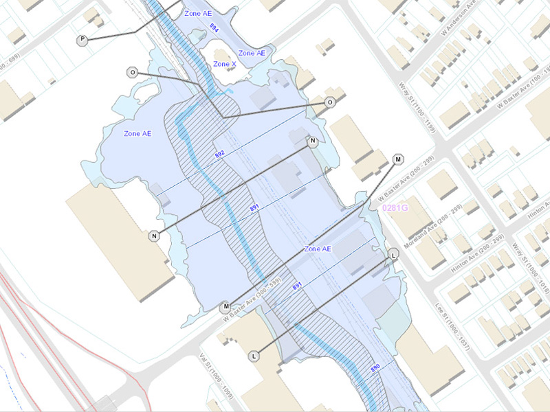
Tuesday, May 13, 2014/Author: Chris Halcomb/Number of views (1347)/Comments (0)/ Article rating: 5.0
Categories: Public

Esri's Official Position on Silverlight and Flex

Dropping NEW Development Efforts on Silverlight and Flex for HTML5

Esri posted an interesting article on their developer's blog site the other day.  Basically, they are dropping new development efforts for the Silverlight API and Flex API.  With the rise in mobile devices, which don't support either Silverlight or Flex, Esri has decided to focus all new development efforts on the JavaScript API and HTML5.  They are planning to support both (including bug fixes) in the coming year but they will not be adding any new functionality.  Here is the link to article: http://blogs.esri.com/esri/arcgis/2014/02/21/esris-roadmap-for-web-developers/

How does this affect KGIS? (click here to read more)

Thursday, February 27, 2014/Author: Bryan Lynn/Number of views (2707)/Comments (0)/ Article rating: No rating
Categories: Public

Online Survey Results reveal varied use of KGIS

Addresses and Property Ownership tagged as most important features

More than 200 individuals took part in an online survey conducted on KGIS's behalf back in November 2013, and the results show a varied use of the KGIS applications and  geospatial data. We want to thank everyone who participated in that survey, and are always open to hearing from folks on how we might do things better. Click here to review the Survey Results, and click here to send us an email with your suggestions and comments.


Thursday, February 20, 2014/Author: Keith G. Stump/Number of views (1041)/Comments (0)/ Article rating: No rating
Categories: Public

Property Tax Sale Maps

Knox Co Trustee's Tax Sale Properties added to KGIS Maps

The Knox County Trustee's Office has made its tax sale properties available on KGIS Maps . Currently, the map is updated to show properties from Tax Sale 19A (in orange) and 19B (in blue).  Please see the Trustee's web site at http://www.knoxcounty.org/trustee/tax_sale.php for more information about the Tax Sale.  The "Property Tax Sale" map can be found under the "Other Maps" heading of the Maps tab.
Friday, January 17, 2014/Author: Bryan Lynn/Number of views (4021)/Comments (0)/ Article rating: 4.5
Categories: Public

KGIS has switched back to the 2010 Aerials as the default Aerial map theme.

Because of problems caching the 2013 Aerial imagery KGIS has switched back to the 2010 Aerial as the default Aerial map theme. If you want to switch to the 2013 Aerial you can change map theme by clicking on the Maps tab, next click on Historical Aerials drop-down arrow to the right of the word Historical Aerials, then click on the circle to the left of 2013 Aerial. (For more info click here.)

Tuesday, January 14, 2014/Author: Jimmy Brink/Number of views (1084)/Comments (0)/ Article rating: No rating
Categories: Public

Google Maps updated with Fall 2013 Aerials for Knox

Map Update Notification

Fall 2013 aerials in Google MapsRecent Google Imagery Update Alerts received by KGIS indicate that the aerials for most of Knox County have been updated to what looks to be Fall 2013 vintage. The extents of the new photography are not quite known since it is blended / mosaiced together in a seamless fashion, but the color variations of the tree canopy are indicative of a Fall acquisition (see image to right)...Click Here for More Information.

Monday, January 13, 2014/Author: Keith G. Stump/Number of views (1400)/Comments (0)/ Article rating: No rating
Categories: Public
1234

Theme picker