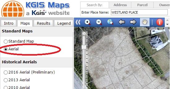
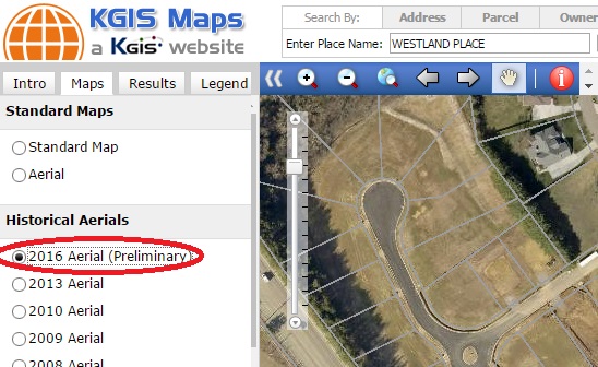
A new 2016 Aerial (Preliminary) map theme has been added to KGIS Maps. Since these aerials are preliminary, by-products of the Spring 2016 Knox County Property Assessor project with EagleView - Pictometry , they don't quite meet the product standards of past KGIS aerial products. Therefore, instead of replacing the default Aerial Theme (which is still vintage 2014), the preliminary aerials are located under the Historical Aerials category of Map themes (see image).
----------------------------------
KGIS expects to receive more accurate 2016 aerial photography in late summer (as part of the county-wide aerial, lidar and topographic map update project with The Atlantic Group). At that time, the default Aerial Theme will be updated to the 2016 vintage product.
But until that time, these preliminary 2016 images are a great resource!
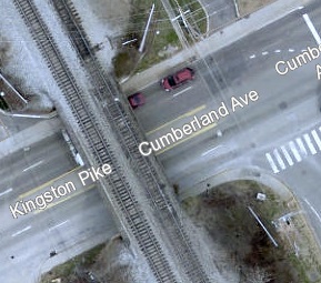
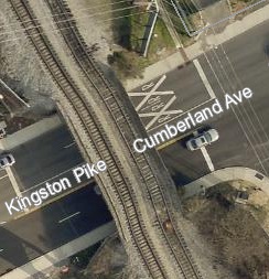
The two images below compare the 2014 Default Aerials with the "preliminary" 2016 Aerials. [You can click on the images to Zoom to the location in KGIS Maps]
The image below provides an example of where the new 2016 product has not been adjusted to the same map accuracy standards as the 2014 (default) product. (The railroad overpass is warped slightly in the 2016 "preliminary" by-product from Pictometry). [You can click on the images to Zoom to the location in KGIS Maps]