Accessible via an Image Service and via Shared Folders
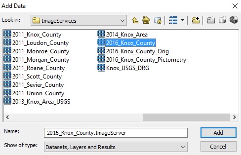 ESRI software users of the City, County, KUB and MPC can now access the recently acquired 2016 Aerial Ortho Imagery and the LiDAR datasets hosted on the KGIS System. To access the Image Service, which is called "2016_Knox_County", ArcGIS Users can READ MORE...