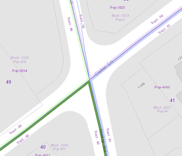
The Census data layers have been updated on the KGIS Advanced Maps website to display the 2010 Census Tracts. To display the Census map theme click here or click on the Maps tab left of the map, then expand the Other Maps section, next click on the Census Tracts map theme. After you change map theme to the Census map theme you can add the Census Tract and Block population by clicking on the Show Layers under the Map Layers tab, next check the boxes by the layers Census Blocks 2010 and Census Tracts - Population for 2010 located under Operational Layers, Census data. As you zoom into 1:12000 the Census Tract and Block population labels will display.