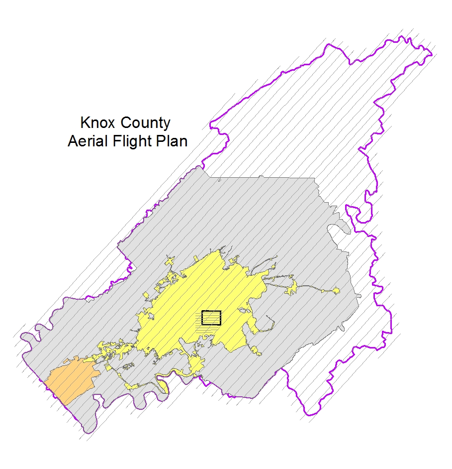
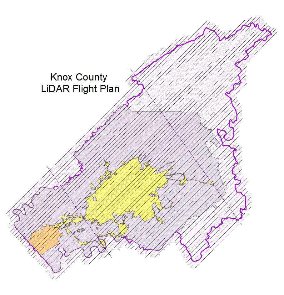
KGIS Receives Final Flight Plans for LiDAR and Aerial Photography Acquisitions
Spring 2016 Aerial Topographic Update
Author: Chris Halcomb/Tuesday, February 16, 2016/Categories: KGIS Depts, Partners, KGIS Staff, Executive

Atlantic delivered the final flight plans for the LiDAR and Aerial photography acquisitions today. As soon as weather permits, they will fly LiDAR first and then the aerial photography mission will follow within 2-3 weeks. Atlantic was scheduled to be here on February 9th for a project kick off meeting, but we had to reschedule due to weather. The
Kickoff Meeting of the Spring 2016 Aerial Topographic Update project has been re-scheduled for
Tuesday, Feb 23rd 2016.