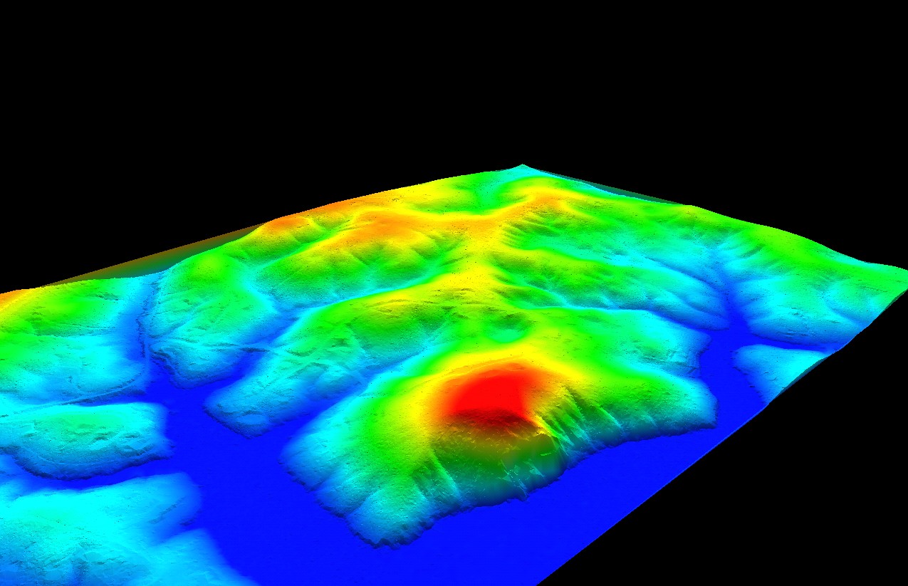
 Aerial Photography will be captured for the entire Knox County and KUB service areas during the early months of 2014 as part of a GIS information improvement project jointly supported by Knox County, KUB and the City of Knoxville. In addition to providing updates to KGIS's 2010-vintage aerial ortho-photography, the project (with EagleVision / Pictometry Inc) will provide KGIS with a new update to its 6-year-old LiDAR datasets...
---------------------------
...(from which topographic contours are derived), and to Pictometry's trademark oblique photos (similar to that which is seen via BING's Birds-Eye View).
 The expected delivery date for the new products is expected to occur sometime in the next five months, depending upon favorable flight conditions and post-processing. KGIS expects to weave these new data items into its existing KGIS Maps and other applications sometime during the Summer 2014.
LiDAR = Light Detection and Ranging