KGIS Updates Planimetric and Topographic Data
Author: Bryan Lynn/Sunday, April 11, 2010/Categories: KGIS Depts
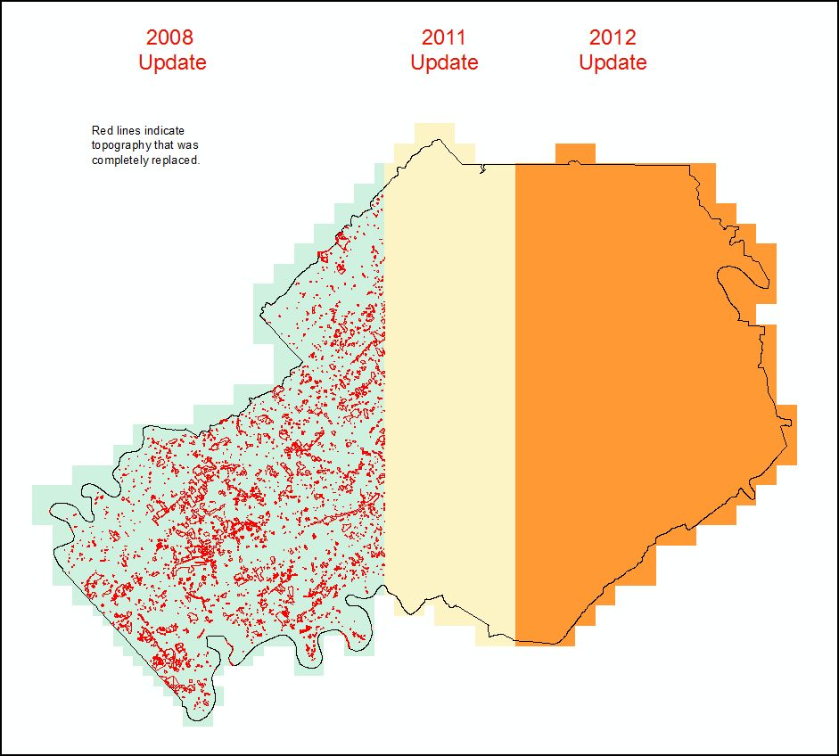 KGIS has loaded the new planimetric/topographic data for the West half of the County (just west of Norwood Elementary off Merchants Dr and Lakeshore Park off Lyons View Dr). The data was collected from 2007 LiDAR and Aerial Photography from March 2008. The East half of the County will be updated by LiDAR and Aerial Photography collected in March 2010. This update is staying within the plan of a complete update of the entire county over a six year period. The cycle is listed below. KGIS will be rolling this data to the public website in next few weeks. KGIS will also convert to design files soon to support engineering needs. Please call if any questions.
Year 1 6" Aerial Photography and LiDAR
Year 2 Far West of County Plan and Topo Update
Year 3 Middle West of County Plan and Topo Update
Year 4 6" Aerial Photography and LiDAR
Year 5 Middle East of County Plan and Topo Update
Year 6 Far East of County Plan and Topo Update
Please visit the Landbase Page for more info on this year's schedule!